Archaedromosology is a portmanteau [a word made by combining two or more other words] referencing the study of ancient pathways and routes. The prefix comes from the Greek arkhaios (ancient), combined with dromos (road) and -ology (the study of). It generally describes the archaeological and historical study of ancient roads, trade networks and infrastructure.
- Google AI Overview
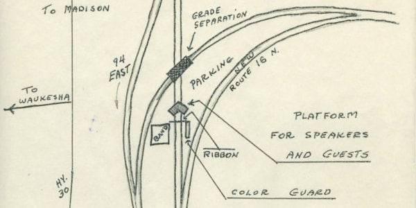
The next time you’re in Waukesha County, take a minute to pay homage to the oldest stretch of Interstate Highway in...