Maps do a poor job of conveying the complexity of political boundaries. Boundaries are often imprecise, ambiguous or disputed. By portraying such boundaries as precise lines, maps oversimplify political reality and obscure the often contested history of boundary definition and delineation.
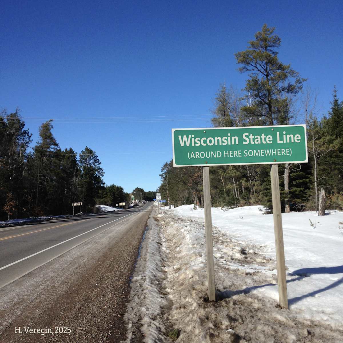
Perhaps you’ve never thought much about Wisconsin’s boundaries with Illinois, Iowa, Minnesota and Michigan. If so, it might surprise you to discover that some of these boundaries are in the wrong place, some do not have precise locations, and others have been the subject of lawsuits taken all the way to the US Supreme Court.
The legal boundaries of the state are described in Article II of the Wisconsin Constitution. [1] Wisconsin’s boundaries were the subject of great debate at the time the constitution was being drafted in the 1840s. The boundary description we find in the constitution today is based on the 1846 Enabling Act that Congress passed to pave the way for statehood. That 1846 boundary is in turn based on – but not identical to – the boundary described in the 1836 law that carved Wisconsin Territory out of Michigan Territory. The boundary in the 1846 Enabling Act is also different from the boundary in the version of the state’s constitution that was approved by Wisconsin voters in March of 1848. (This was the second version of the constitution, an earlier version having been rejected by voters in 1847.) But the boundary in the approved 1848 constitution is not the same as the boundary in the constitution ratified by Congress, which adopted the boundary definition we see in the constitution today.
If this all sounds confusing, that’s because it is.
The differences between the Wisconsin Constitution and the 1846 Enabling Act relate primarily to the Michigan boundary, which we will look at in detail in Oddsconsin 53. The differences between the current Wisconsin Constitution and the version of the constitution approved by voters in 1848 relate primarily to the boundary with Minnesota, which we will look at in Oddsconsin 51 and 52. This week, we’ll focus on the boundary with Illinois.
As we will see in this series of posts, it’s safe to say that the boundary description found in the state’s constitution does not accurately reflect the state boundary as it exists today.
For Illinois, the Wisconsin Constitution defers to the law that created the state of Illinois in 1818. Accordingly, the boundary is defined as “the line of forty-two degrees and thirty minutes of north latitude.”
A line of latitude, also known as a parallel, is an imaginary line on the earth’s surface that follows a path of constant bearing (direction) with respect to true north. It is in that sense a straight line, although it naturally follows a curved trajectory since the earth is ellipsoidal in shape.
The first and most obvious problem with the Wisconsin-Illinois boundary is that it is not a straight line. [2] This can be easily seen in Google maps if you zoom in close to the boundary line. It contains numerous bends and wobbles, the result of surveying technology of the nineteenth century. When the boundary was delineated on the ground in 1833, survey crews walked along a line that, according to their instruments, was at 42 degrees, 30 minutes north, and placed physical monuments at each half-mile interval. Since they worked with steel tape, metal chains and magnetic compasses – and obviously had no GPS – the locations were not precise. The Wisconsin-Illinois boundary today is basically a connect-the-dots drawing that joins each of the monument locations together.
A more significant problem is that the boundary is not at 42 degrees, 30 minutes north. The reason is that latitude and longitude are not as stable as many people imagine they are. [3] A feature – even a state boundary – with known latitude-longitude coordinates will not be at that same latitude-longitude location forever.
There are two main reasons for this, sometimes called “shift and drift.” The drift component is due to plate tectonics, the rotation and movement of large, rigid plates on the earth’s crust. In Wisconsin we live on the North American Plate, which is rotating counter-clockwise at a rate of about an inch per year. Everything on the plate is rotating, including the boundary line with Illinois, which has consequently shifted about 17 feet since it was defined in 1818.
The “shift” component is even more significant. This occurs because, as more precise measurements of the earth are acquired, scientists tinker with the mathematical model used to represent the generalized shape of the earth. Whenever a new model is adopted, the latitude and longitude of every point changes.
When the Wisconsin-Illinois boundary was delineated in 1833, surveyors were trying to follow a line of latitude – 42 degrees, 30 minutes north – that was farther south than it is today. The line has moved north. If the boundary were surveyed accurately today, Illinois would gain territory at Wisconsin’s expense. [4]
But don’t expect the boundary to be changed anytime soon. Despite what the state’s constitution says, the boundary is where the physical monuments set in 1833 say it is. As we will see in later posts, the courts have generally upheld the principle that effective administration and control of an area, over time, is the key to establishing ownership. The same principle applies to your neighbor’s fence that encroaches a couple of feet onto your property, a real estate principle known as “adverse possession.”
Illinois was a pretty simple case. Next week, we’ll consider the boundary with Minnesota, which has a more complex history.
Want Oddsconsin delivered right to your inbox? Subscribe here.
Sources and Notes
[1] Wisconsin Constitution. https://docs.legis.wisconsin.gov/constitution/wi_unannotated
[2] H. Veregin, Is the Wisconsin-Illinois Boundary a Straight Line? Wisconsin State Cartographer’s Office. https://www.sco.wisc.edu/2023/12/21/is-the-wisconsin-illinois-boundary-a-straight-line
[3] H. Veregin, Oddsconsin 43 – Geographical Markers. https://howard-veregin.com/blog/oddsconsin-43-geographical-markers-wisconsin-is-geographically-unique
[4] To add some additional complexity, due to the bends and wobbles in the boundary, some parts of it are actually too far north.